Teacher Phaitoon Yaemprasuan
Occupation and Technology Group
source: http://bigpicture.ru/?p=343584
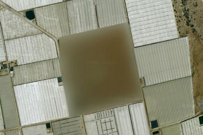
Mapping service Google Maps displays the entire Earth. Well, almost all. Some places are just not available for viewing or specially painted over or washed out.
ตำแน่งความลับของหลายๆ ประเทศในโลกนี้ เราไม่อาจเรียกใช้บริการของ Google Earth ได้
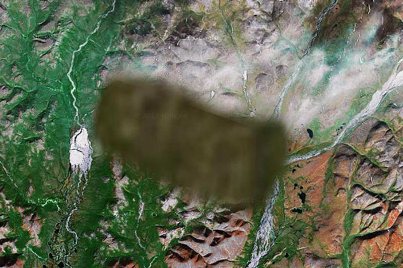
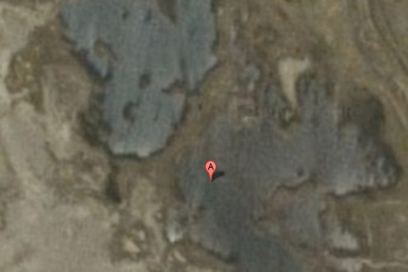
ทะเลสาปเบเกอร์ ตอนเหนือของประเทศแคนาดา
ชายที่เรียกตัวเองว่า "Dr. Boylan" เชื่อว่า เป็นที่หลบซ่อนของมนุษย์ต่างดาว
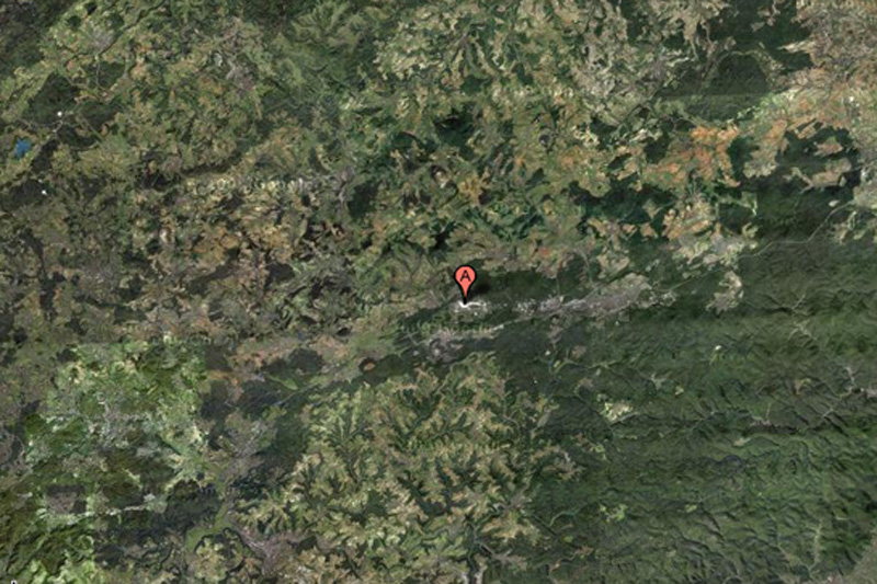
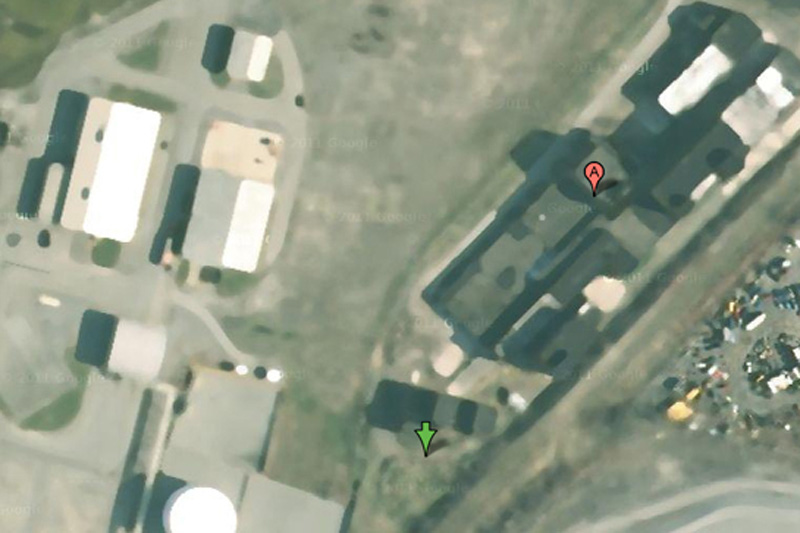
This NATO air base is the starting point for the forces of "Operation Iraqi Freedom", and for this reason can certainly be a target for terrorist attacks. This may explain why the object is partially carved out of Google Maps.
ฐานทัพอากาศแรมสไตน์ ประเทศเยอรมนี
เป็นฐานทัพของนาโต (พันธมิตรทางทหาร ประกอบด้วยสหรัฐอเมริกา และกลุ่มประเทศยุโรปตะวันตก)
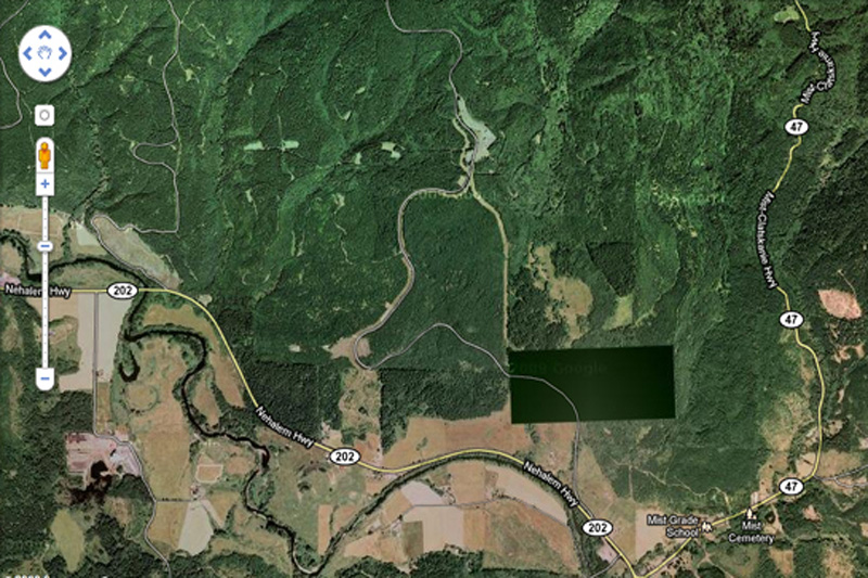
What exactly we do not see in this photo? This place is not far from the border of the states of Washington and Oregon. Enthusiasts have personally inspected the place and found nothing remarkable but ominous-looking fence and no marked entrance.
ชายฝั่งมหาสมุทรแปซิฟิกตะวันตกเฉียงเหนือ สหรัฐอเมริกา
เมื่อไปดูสถานที่จริงก็ไม่มีอะไรผิดสังเกต ทุกอย่างปกติ (แต่จริงๆ คงมีอะไรซ่อนอยู่)
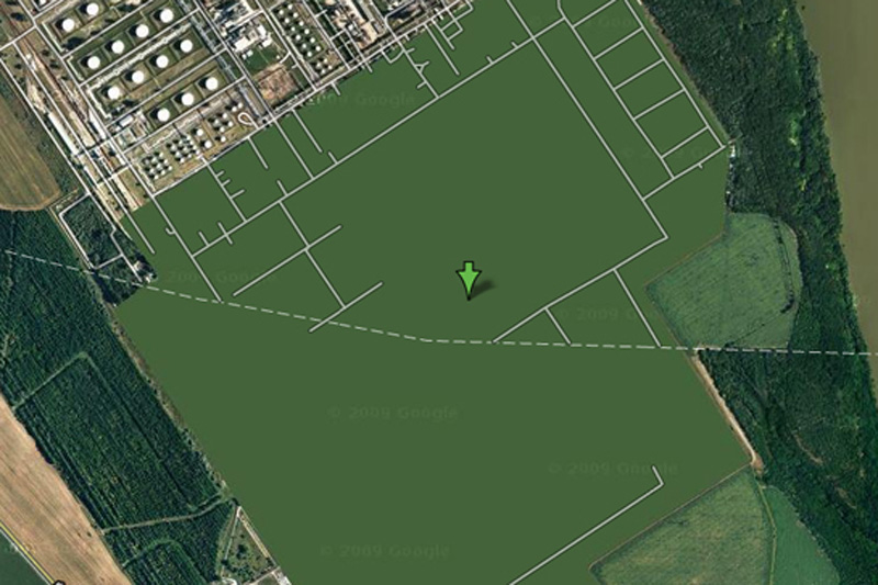
This is one of the most bizarre specimens of censorship in Google Maps - this place is just drawn in green. Area of the plant is removed, the building erased, and all you can see - this is a common herb.
โรงกลั่นน้ำมัน ประเทศฮังการี
ดูๆ ก็ไม่มีอะไรแปลก แต่ดูด้วยกูเกิลเอิ์ธไม่ได้
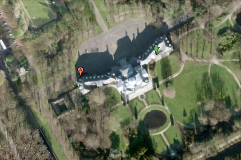
It is difficult to imagine that the Dutch royal family can be a prime target for mad terrorists, but the royal palace Hyuis Ten severely eroded on Google Maps when viewed from any angle. (However, the surrounding area and trees at close increase seen in crystal clarity.)
พระราชวังของเนเธอร์แลนด์
เกรงว่า อาจจะเป็นเป้าโจมตีของคนที่ไม่ชอบราชวงศ์ได้
No one knows what lies in the region. One view - that there is a "radar or missile interception system," and some say that a picture is inserted into the surrounding area from another region of Russia.
ไม่ทราบตำแหน่ง ประเทศรัสเซีย
เป็นจุดที่ตั้งระบบป้องกันภัยทางยุทธศาสตร์ ของประเทศมหาอำนาจทางทหาร อย่างสหพันธรัฐรัสเซีย
Some have criticized the company for Mobil of Buffalo blur pictures of her business, saying that oil companies are not much of interest to terrorists. On the other hand, we do not know what they think the terrorists themselves.
บริษัทน้ำมันยักษ์ใหญ่ โมบิลออยล์ ณ เมืองบัฟฟาโล รัฐนิวยอร์ก
คงกลัวว่า จะเป็นเป้าหมายของผู้ก่อการร้าย
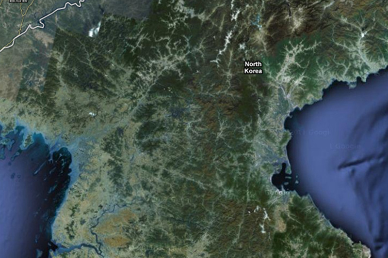
About the country of the alleged "Axis of Evil", heard everything, but very few people have ever visited her. You will not see it on Google Maps, since the whole country exists in images but without road markers, street names or any other identifying details.
เกาหลีเหนือ ประเทศที่ถูกกล่าวหาว่า เป็นแกนนำแห่งความชั่วร้าย ก็คงต้องระวังตัวเองไม่ให้เป็นเป้าโจมตีได้
The reasons for this air base locked in Google Maps, is unknown.
ฐานทัพอากาศ ประเทศฝรั่งเศส
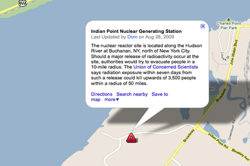
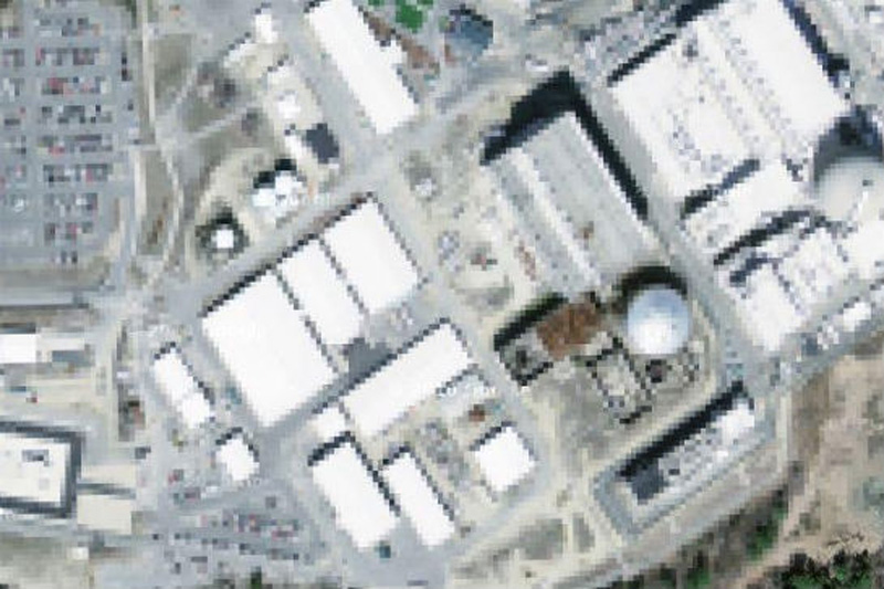
Many members of the government of the United States called for a halt Indian Point power plant. In addition to environmental concerns, according to experts in the field of energy, the power is not strong enough to withstand an earthquake, such as the one recently destroyed Japan.
โรงงานผลิตไฟฟ้า รัฐนิวยอร์ก
คงกลัวการก่อการร้ายนั่นแหละ
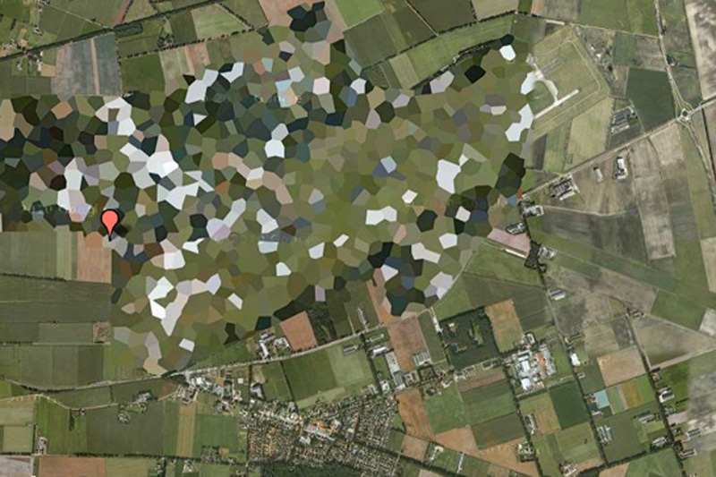
Pretty funny to see how rough blurred this air base in satellite images, however, WikiLeaks published diplomatic correspondence, which confirms the presence of nuclear weapons on the territory of the base.
ฐานทัพอากาศ ประเทศเนเธอร์แยนด์
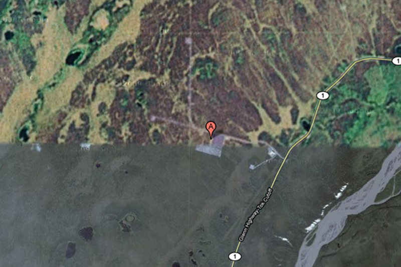
HAARP (High-Frequency Program Northern Lights) - this is one of the most controversial operations, which is currently being conducted in the United States. Hakon, space research, and ongoing experiments with the ionosphere there, some conspiracy theorists are honored to be the cause of anything - from floods to earthquakes, but very little evidence of this.
ศูนย์ศึกษาวิจัยภัยธรรมชาติ รัฐอลาสกา (อยู่ในเขตขั้วโลกเหนือ) สหรัฐอเมริกา
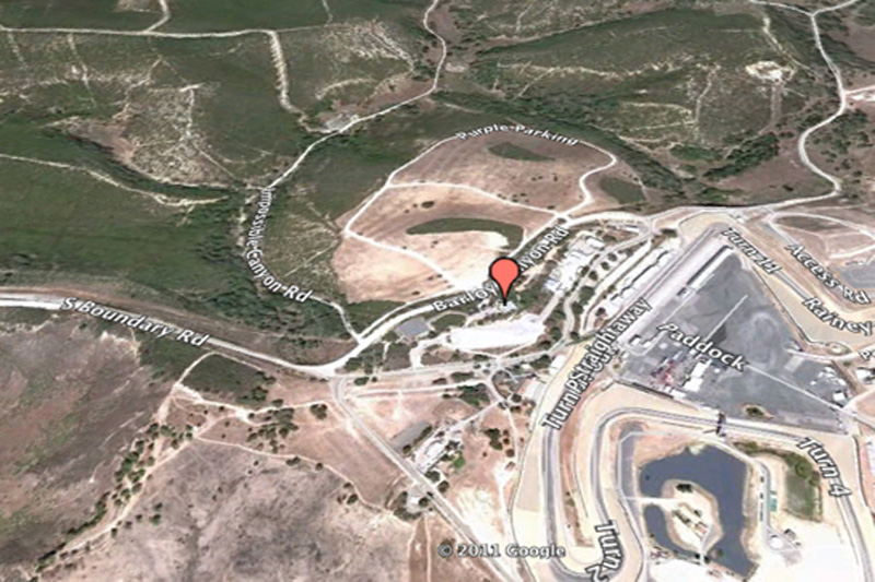
This is one of the most bizarre examples of censorship in Google Maps: Raceway Laguna Seca in Salinas, California. The strange thing in this is the fact: it is obviously harmless racing track.
สนามแข่งรถมาสดา มลรัฐแคลิฟอร์เนีย สหรัฐอเมริกา
While the surrounding area has excellent visibility, the city of Babylon in the pictures blurred. You can bet that it has something to do with local rebels ...
สวนลอยบาบิลอน ประเทศอิรัก
เป็นของเก่าแก่มาก เป็นสิ่งมหัศจรรย์ของโลกด้วย
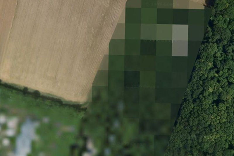
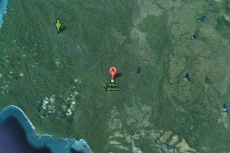
For some reason, this preserve endangered species completely excised from Google Maps? No one knows.
อุทยานแห่งชาติ ประเทศชิลี
อาจจเป็นว่า มีสัตว์และพืชหายากที่ใกล้สูญพันธ์ ก็เลยปกปิดไม่ให้ใครสอดรู้สอดเห็น
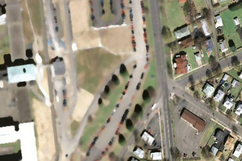
This is the highest level of reliability prison in the state of New York. Perhaps, after the riots in Attica prison, and several incidents of uprisings and mass escapes around the world, the authorities can really worry about the possibility of escapes by helicopter.
ทัณฑสถาน ขื่อว่า เดอะฮิลล์ สหรัฐอเมริกา
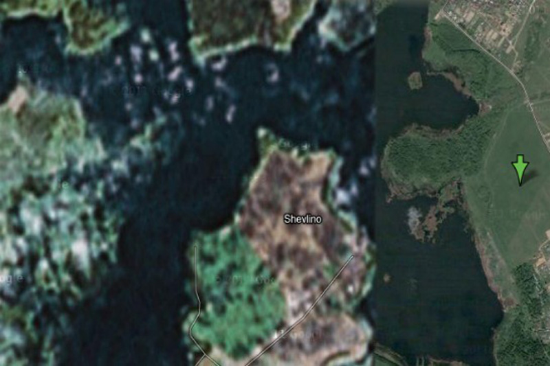
According to Wikipedia, this place is a "private palace Gazprom CEO Alexei Miller." But why is it in preference to all other people? Perhaps we are just not powerful enough to convince Google to cut our homes with satellite imagery.
สถานที่ส่วนบุคคล เป็นผู้บริหารระดับสูงของบริษัทยักษ์ใหญ่ ประเทศรัสเซีย
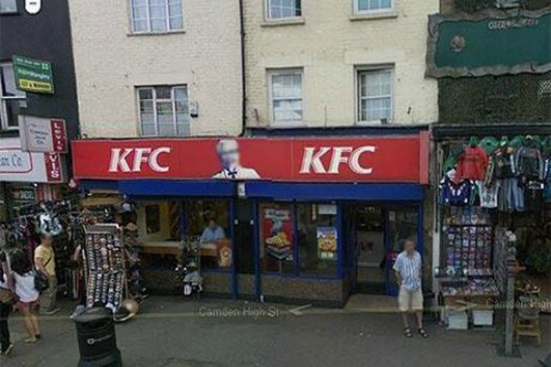
This is the strange fact from Google: Colonel Sanders, the person network Kentucky Fried Chicken, does not appear in a single shot from Google Street View. This is because, according to representatives of Google, which Sanders was a real person, and the images of real people have to be eroded in any pictures.
พันเอกแซนเดอร์ เจ้าตำนานไก่ KFC สหรัฐอเมริกา
It is believed that in this area there are some unpublicized military installations.
เกาะในประเทศเดนมาร์ก
คาดว่า เป็นสถานที่ติดตั้งอาวุธลับทางทหาร
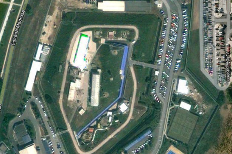
This shot would have been the most fun, if not had such a sinister context. Whoever edited the picture of Portuguese NATO headquarters, he simply copied the other part of the earth surface over the image of the building. Very strange.
กองบัญชาการนาโต ประเทศโปรตุเกส
It is believed that in the north-eastern part of the United States is a nuclear power plant in Seabrook.
สภานีนิเคลรียร์นิวแฮมเชอร์ สหรัฐอเมริกา
According to one researcher, "At this place there is a small structure with something resembling a missile silo in between. What's strange - this zone is not locked in Yahoo! Maps, but its image is not Google Maps ».
ฐานปล่อยขีปนาวุธ ประเทศสเปน
We're not quite sure, which means «The Marcoule site of the Commissariat l'Energie Atomique», but we think that the word «atomique» here is the key.
เขตพื้นที่นิวเคลียร์ ประเทศฝรั่งเศส
No comments:
Post a Comment